Shape the future with precise data.
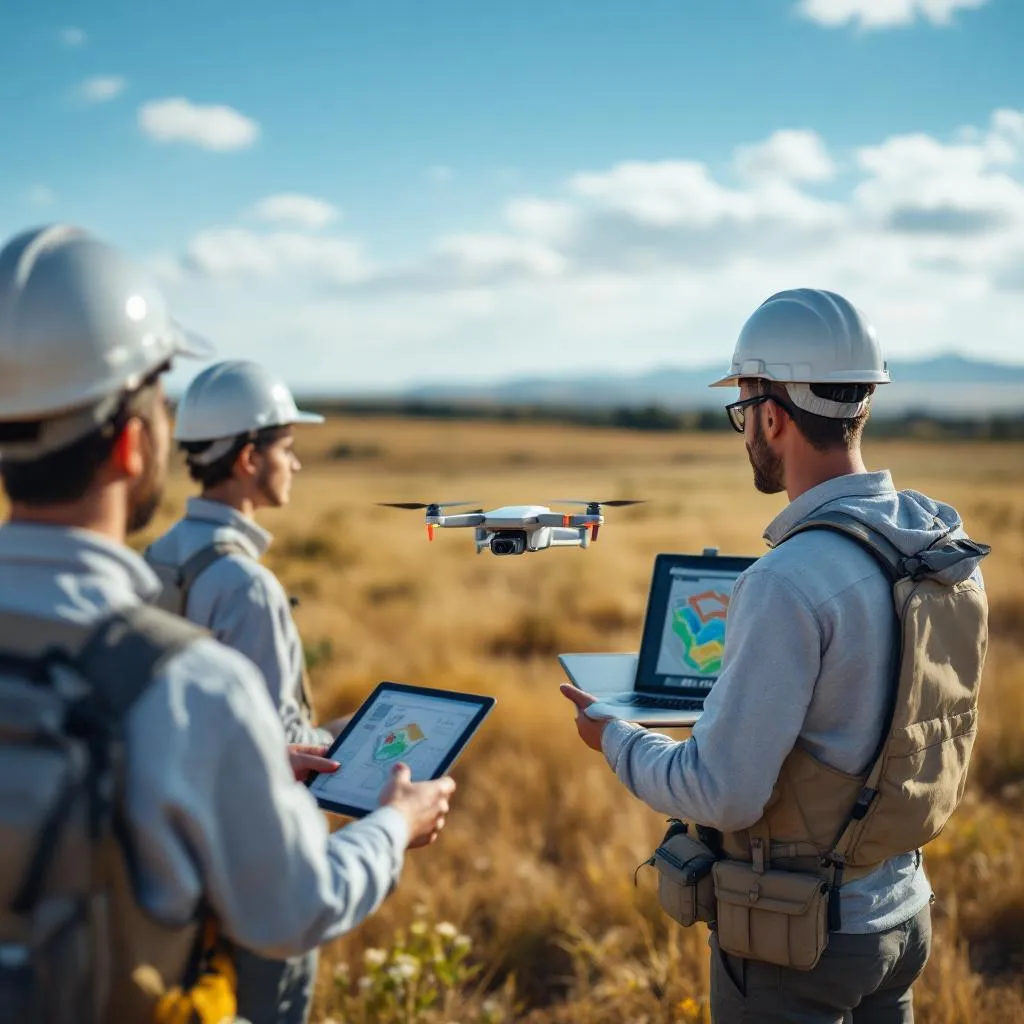
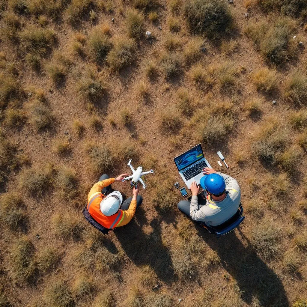
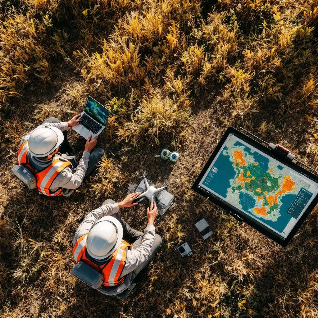
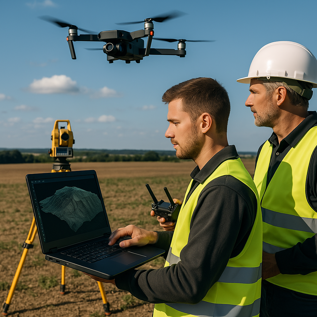
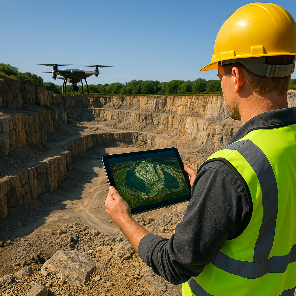
At AviationWiser, we digitize terrains, structures, and natural landscapes using advanced photogrammetry techniques. With high-resolution drones like the DJI Mavic 3 Pro and industry-leading software such as Pix4D and DroneDeploy, we deliver detailed mapping and 3D modeling services for a wide range of industries — from agriculture and construction to archaeology and mining.
Accurate measurements. Reliable analytics. Unlimited potential.
Our Drone Mapping Services module brings clarity to your projects.